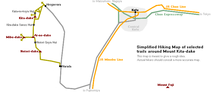
Hiking Japan’s second-highest peak Mt. Kita-dake
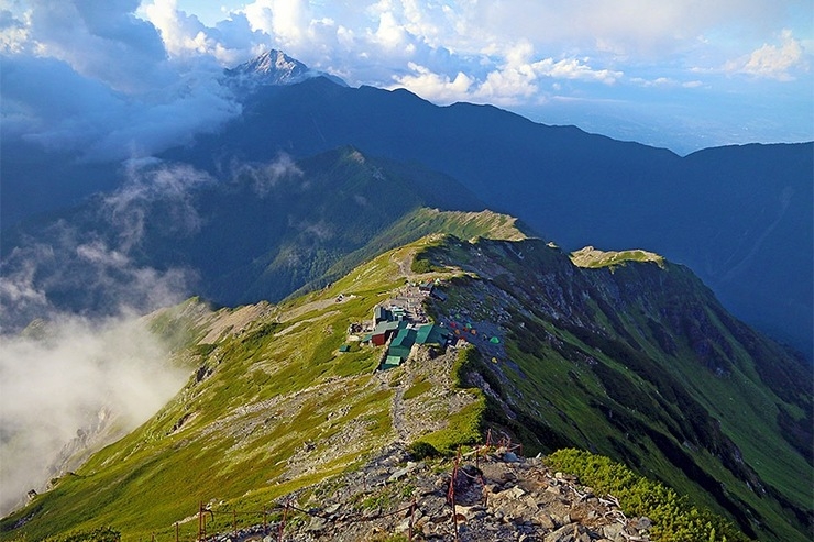
View from the ridge line of Kita-dake over the Kata-no-koya hut and Mt. Kaikomagatake in the distance
And it comes with a bonus: it boasts one of the best vantage points of Mt. Fuji in the entire country.
Access
If coming from Tokyo, staying in Kofu the night before the hike can be a good idea as the bus and train schedules don't always line up to allow ample time for the first day's hike.

Day 1: Hirogawara to Kita-dake Kata-no-koya Hut
The first day's hike, to the Kata-no-koya Hut just below the summit of Kita-dake, can take between 4-6 hours depending on your pace, so most hikers try to begin hiking by around 10 or 11 AM at the latest to allow plenty of time to arrive at the hut in time to check in for the evening meal (most huts ask guests to check in by around 4 PM if requesting dinner).
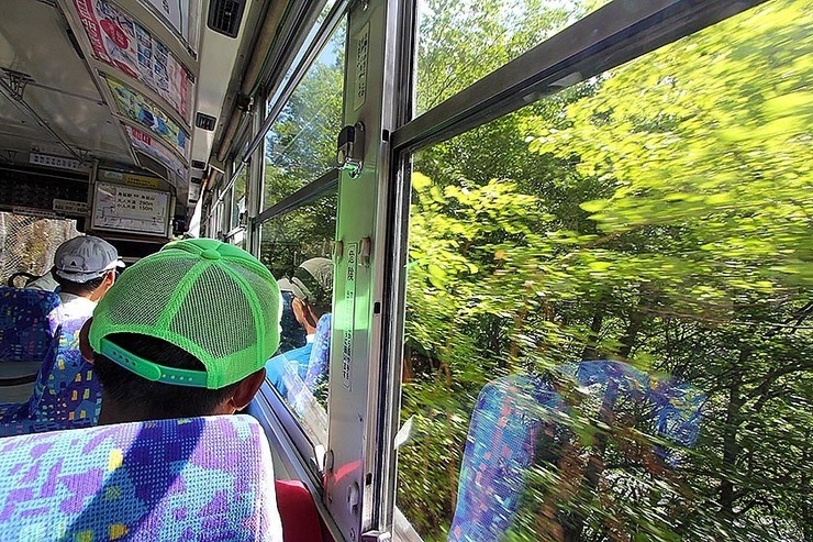
Bus ride to the trailhead at Hirogawara (private cars aren't allowed)
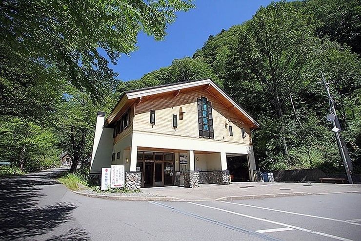
The Norogawa-Hirogawara Information Center where hikers can stock up on last supplies, water and register their hiking routes
The trail doesn't waste time getting steep very quickly as it begins climbing the forested spine of Kita-dake.
After 20-30 minutes, the trail forks. While both paths lead to the top, the right-hand path will take you by the conveniently-located Shiraneoike Goya hut (白根御池小屋 ) which sits next to a small pretty mountain pond, and makes for a nice spot to rest, refill water and get lunch. From the fork to Shiraneoike it's about 1-2 hours.
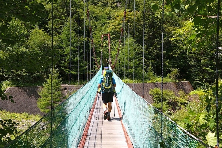
Crossing the Norogawa to start the hike

The trail up the steep, forested spine of Kita-dake
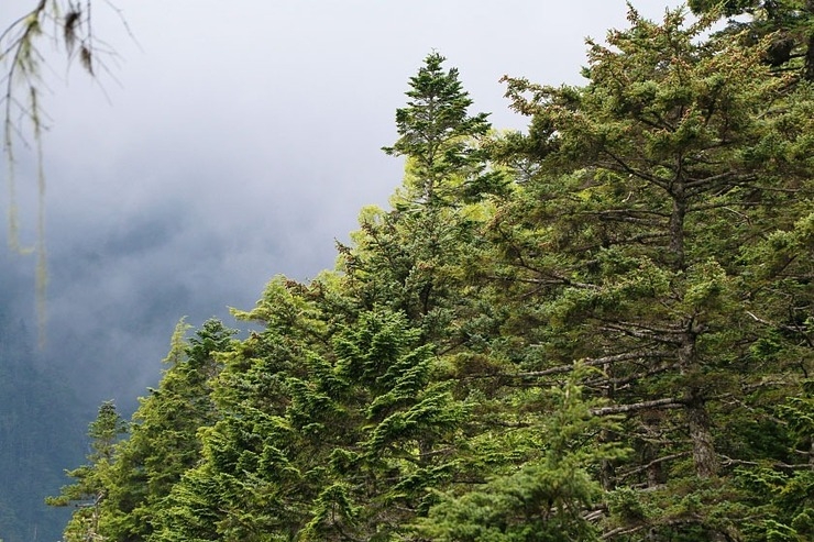
Into the clouds
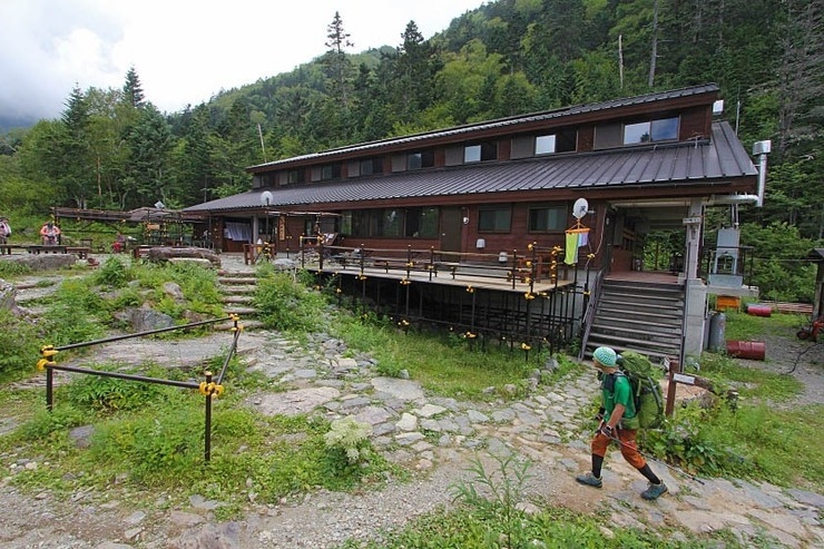
Shiraneoike Hut
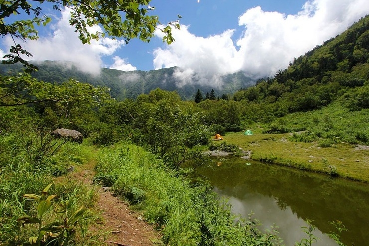
The Shiraneoike Pond
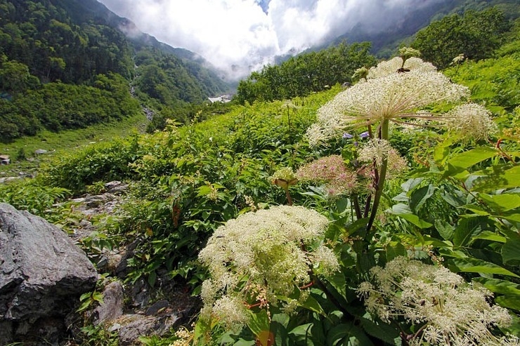
The gorgeous Okabasawa valley, filled with flowers, waterfalls and snow
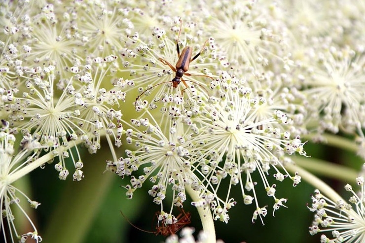
No shortage of wildlife
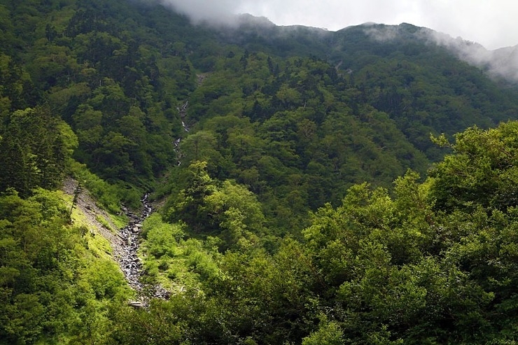
A waterfall racing down the valley wall
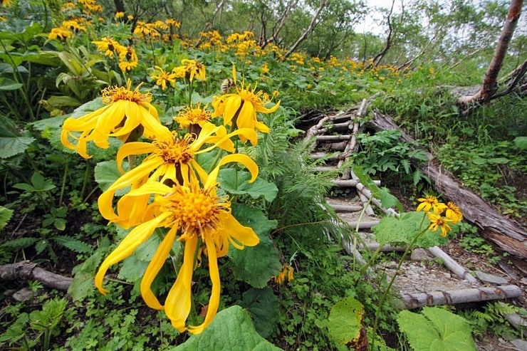
Wildflowers lined the trail up the Okabasawa and were all over the mountaintops
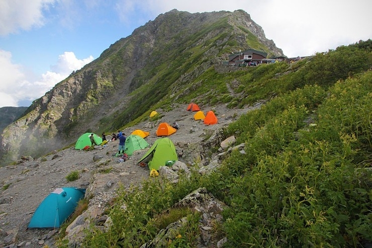
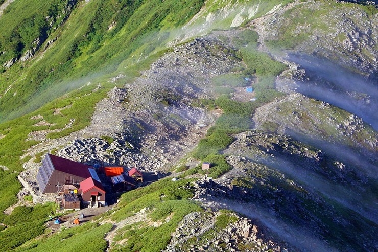
Literally "Mt. Kita Shoulder Hut," the small mountain lodge lives up to its name, perched atop the ridge at an elevation of 3000 meters, just 193 meters below the craggy summit of Kita-dake. Like most mountain "huts" near major peaks in Japan, Kata-no-koya offers hikers a warm place to sleep, hot meals, toilet facilities and fresh water. A night with two meals at Kata-no-koya is 8500 yen (5500 yen without, may vary during peak season). Tent pitching sites are also available for 700 yen/person/night.
While reservations are appreciated, huts can almost always accommodate hikers on arrival as well (though arriving as early as possible is always best, especially if requesting an evening meal, which is usually served between 5:00 and 6:00 PM).
The Kita-dake Kata-no-koya hut just below the summit of Mt. Kita-dake
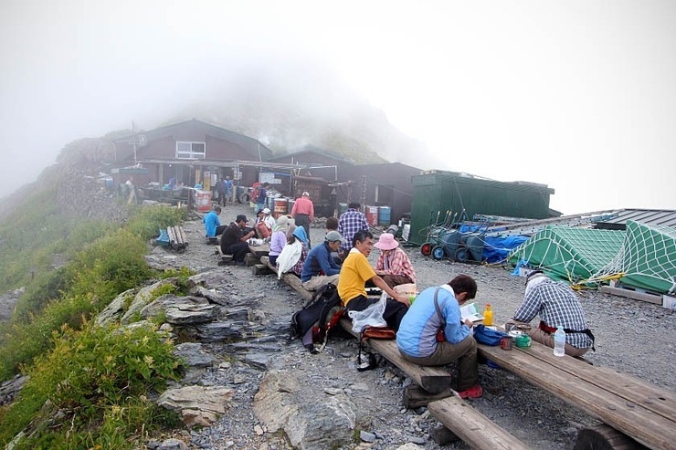
Hikers resting and chatting in front of the hut
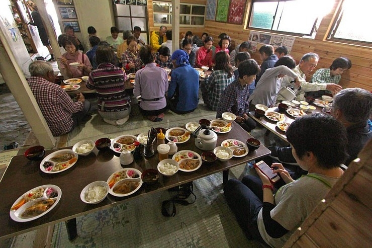
Dinner time!
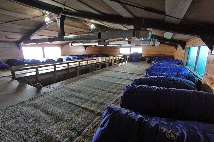
Sleeping bags wrapped up like tuna rolls for hikers staying the night

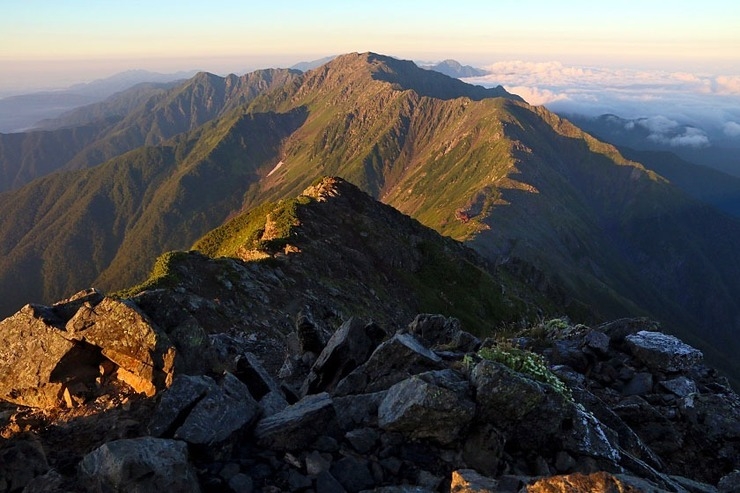
The breathtaking view from the ridgeline just above the hut; the big peak in the distance is Kaikomagatake (2967m)
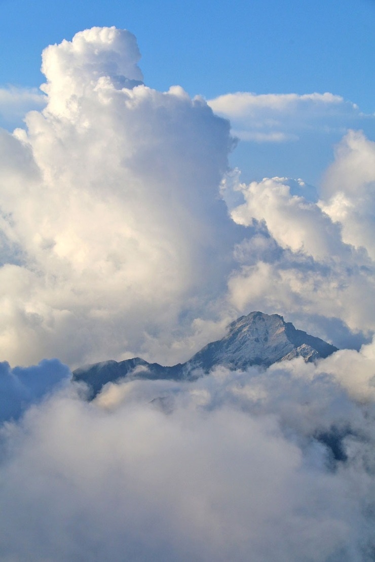
Kaikomagatake wreathed in clouds
Day 2: Sunrise on Kita-dake, Ai-no-dake, and Notori-dake
And not long after waking, I was there not only in time for the sunrise, but also to briefly catch one of the most splendid views of Mt. Fuji anywhere in Japan, just before the sea of clouds below slowly rose up to hide it again.
The summits of Japan's two tallest mountains, Mt. Kita-dake and Mt. Fuji in the distance
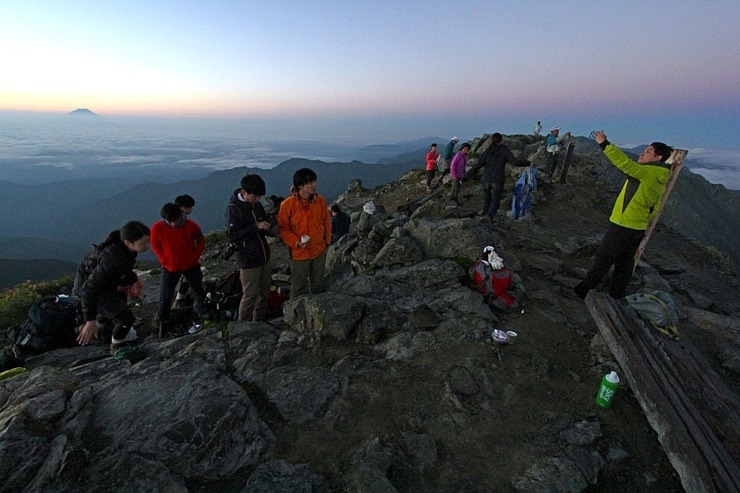
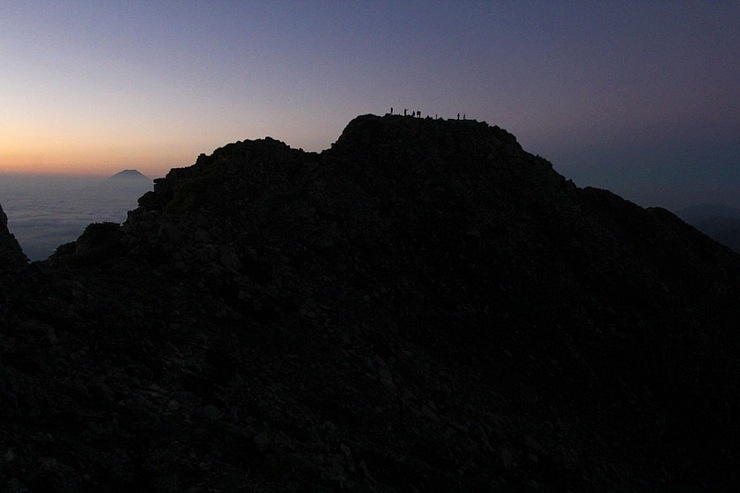
Waiting for the sunrise at the summit
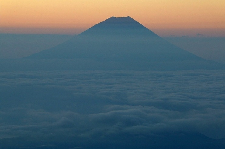
Mt. Fuji piercing the clouds
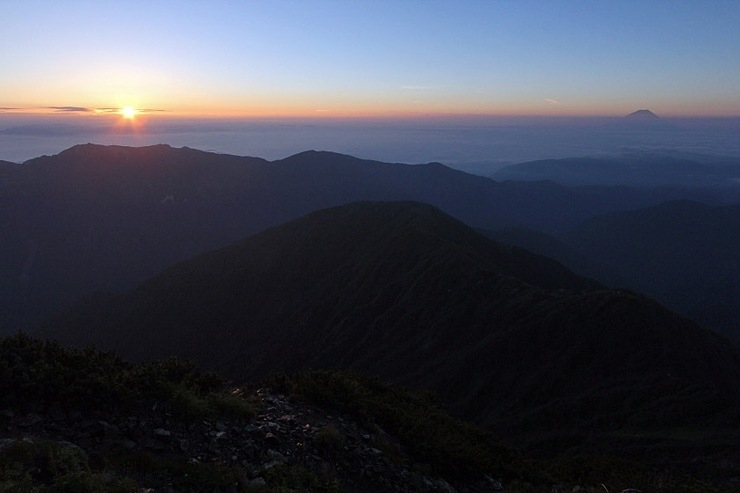
The sunrise and Mt. Fuji, side by side
Sunlight breaking across Mt. Ai-no-dake, just a 2-hour hike from the summit of Mt. Kita-dake
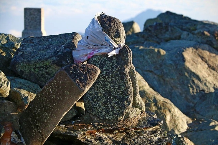
A single Jizo statue keeping watch over the summit
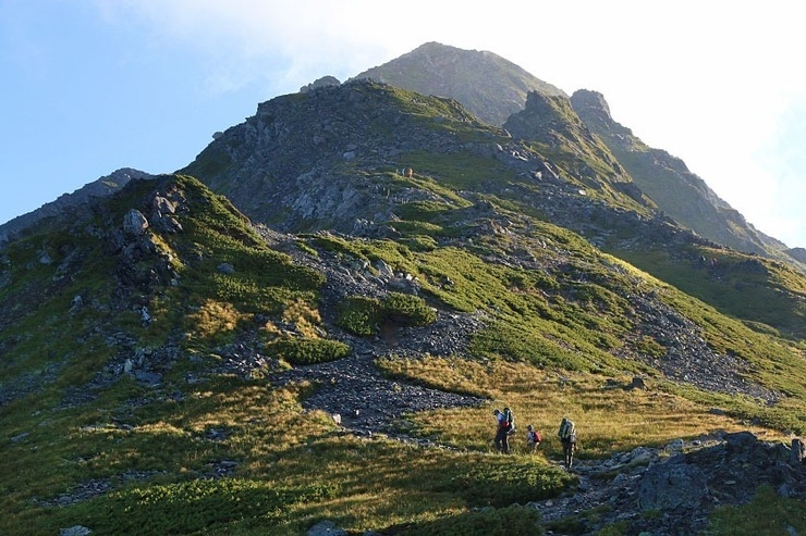
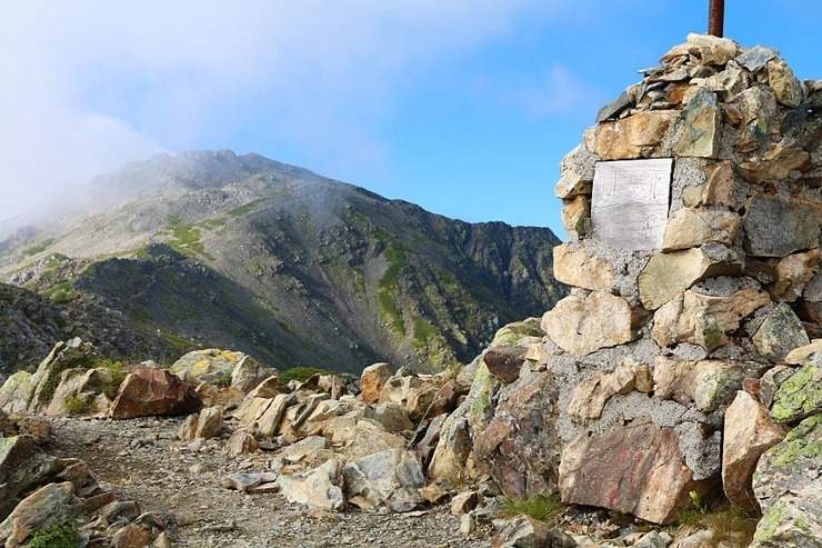
Looking back up to Kita-dake
The Kita-dake Sanso lodge on the other side of Mt. Kita-dake
Past the eggplant-shaped monument to Ai-no-dake
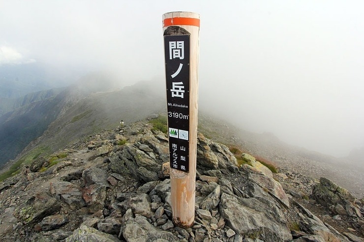
The summit of Mt. Ai-no-dake, Japan's 4th tallest mountain
- ・2-day hike: For those looking to descend on the second day, the most direct option is to simply head back the way you came. Several routes around Kita-dake lead back to Hirogawara, which (from Ai-no-dake) take between 4.5-6.5 hours (3.5-5 from Kita-dake). If you had an early start, it's entirely possible to be back at Hirogawara by early afternoon to catch a bus back to Kofu.
- ・3-day hike: If you have an extra day, the peaks around Mt. Ai-no-dake are suddenly your new playground. Excellent additions are Mt. Notori and possibly Mt. Mibu-dake. For your second night, you could either stay nearer to Kita-dake to descend back down to Hirogawara, or stay on Mt. Notori itself at one of its two huts to finish at Narada, an alternative trailhead (covered below).
- ・4-day-plus hike: For those interested in the 3-day hiking route to Narada via Notori but at a more leisurely pace, it's of course possible to stay at multiple huts along the route down. Or, for the extra-adventurous, it's also possible to continue along the ridge line to the South Alps' many famous southern peaks (just be sure to plan carefully with an accurate map and plenty of supplies).
On my own adventure, I was keen to explore as many peaks as I could in the time I had. So, from Ai-no-dake, I took the 30-minute detour southwest to the summit of Mt. Mibu-dake (三峰岳), whose rocky 2999-meter peak straddles three different prefectures at once. From there, I took what you might call a 2-3-hour "scenic route" down from Mibu-dake and along a trail that doubles back up to the col halfway between Ai-no-dake and Notori. While there's also a direct path from Ai-no-dake that leads to the same point in less than an hour, my little excursion did offer some gorgeous vistas of Mt. Notori rising above the Migokusawa valley.
Standing in Yamanashi, Nagano and Shizuoka at once atop the rocky summit of Mt. Mibu-dake
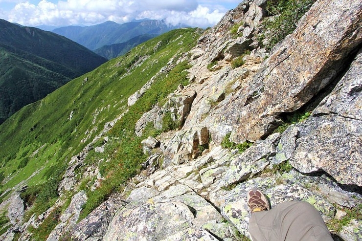
The steep scenic route down from Mibu-dake (not recommended for those short on time)
The halfway point at the col between Ai-no-dake and Mt. Notori
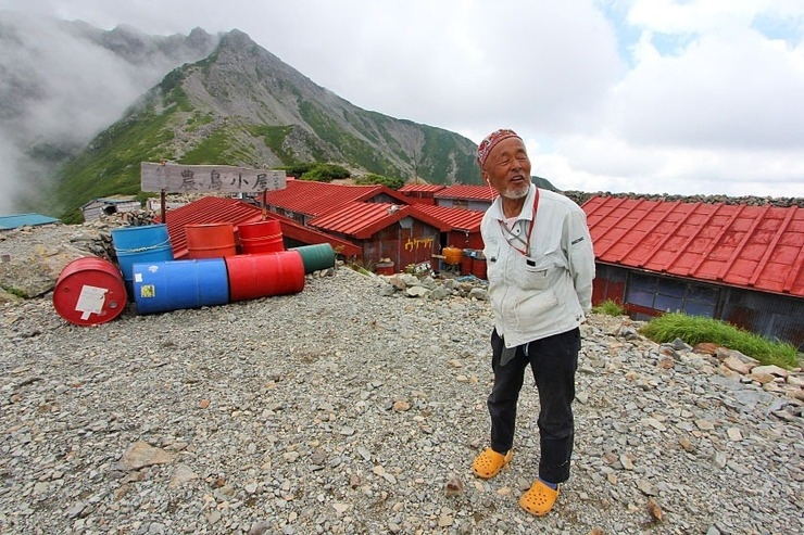
The lively, slightly eccentric, and extremely knowledgeable proprietor of the Notori Goya hut, a good option for staying the night before (or after) tackling Mt. Notori
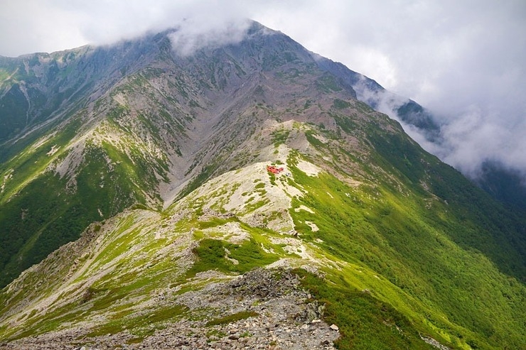
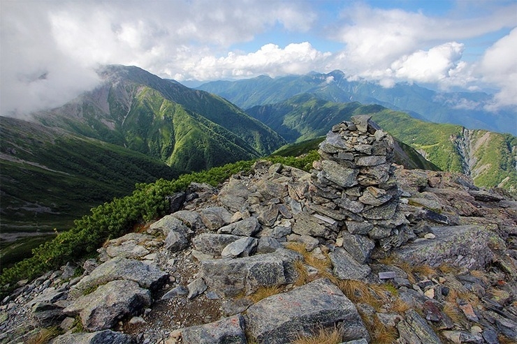
Looking back to Ai-no-dake and Notori Goya from Mt. Notori

The summit of the eastern peak of Mt. Notori, also one of Japan's tallest peaks over 3000 meters tall
The route from Notori to Narada is long, steep, and more rugged than the relatively well-trodden trails up Kita-dake. If you're considering this route, allow yourself at least 5-6 hours from the summit of Notori to fully descend, or 3-4 hours to reach the Daimonsawa Goya (大門沢小屋) hut where it's possible to stay overnight (8000 yen with 2 meals), get food and water, and even take a shower (a rare luxury for a mountain hut!).
If you're planning to catch a bus from Narada (another 2-3 hours from the hut), the last bus leaves at 3:30 PM so plan your descent carefully (see more below).
After a long, tough descent through thick vegetation and heavy rain, I finally made it to the Daimonsawa Goya hut. Since I had planned ahead to finish my hike at Narada, I had driven my own car in to Narada and took a morning bus from the parking lot there to Hirogawara on the first day to start the hike. So, I decided to just head straight down that afternoon and started the final leg of the descent.
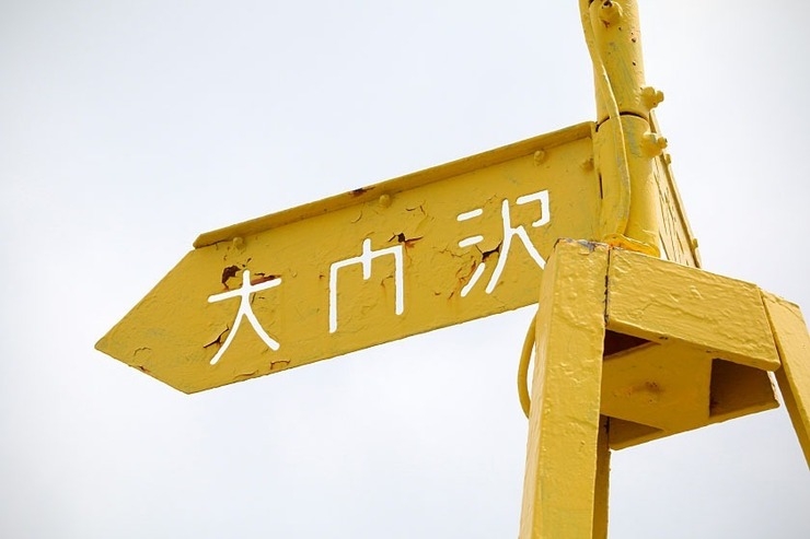
The start of the path down the Daimonsawa valley (which was unfortunately a rainy slog from the moment I stepped past this sign)
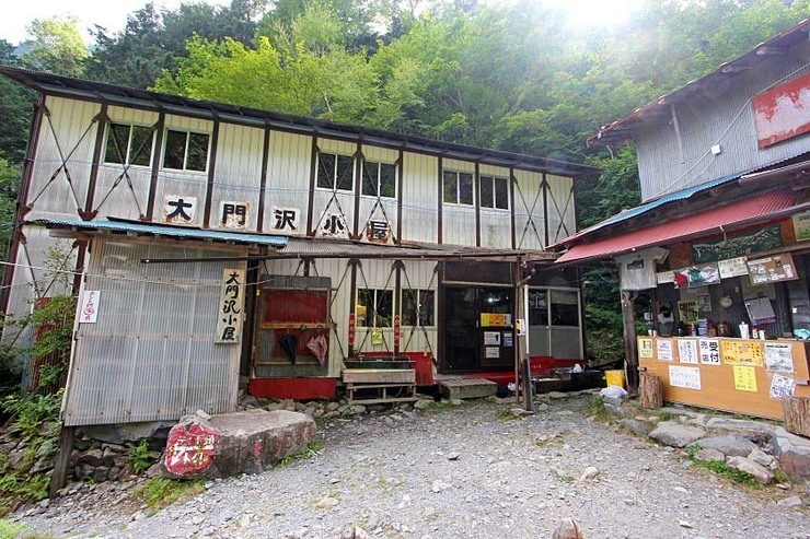
The Daimonsawa Goya lodge about halfway down between Mt. Notori and the Narada trailhead
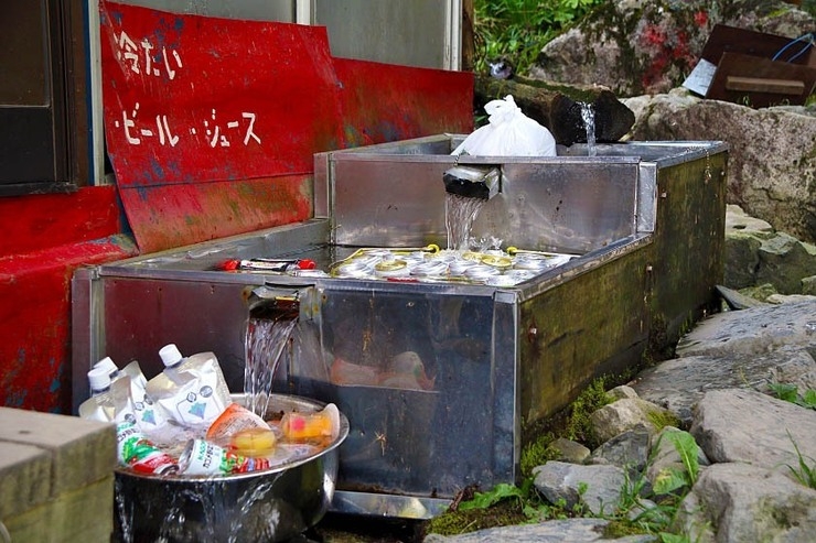
Cold drinks!
And as a final cherry on "top," the trail finishes by leading through one of the most pristine, quiet mountain forests I've ever walked through, without another soul in sight.
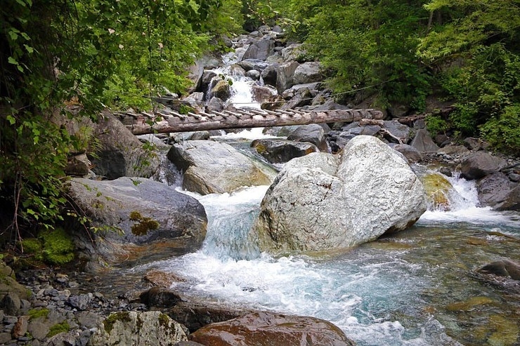
The trail criss-crosses this rushing river that starts as a small stream at the top of the valley
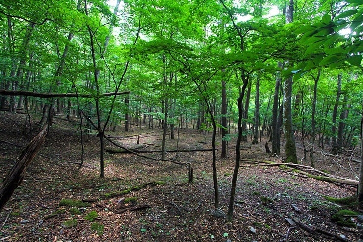
The tranquil forest just above the trailhead to Notori
When to Hike
Hiking outside of the regular season is definitely not recommended here as conditions become snowier, huts will be closed, and access becomes more difficult the further it gets from the seasonal window.
Bus from Narada to Hirogawara
Be sure to check the most current bus schedules at Norogawa-Hirogawara Information Center beforehand, or the Daimonsawa Goya hut on your way down.