


National Route 292: Approaching Peak
National Route 292 is the highest national road in Japan (note that some local roads go higher), reaching 2172 meters near Shibu Pass and the border between Nagano and Gunma prefectures. As such, it one of the most convenient destinations to easily see early autumn colors on Honshu.
Afterwards, the road is scheduled to close for the winter around mid November. Note furthermore, that there is a 2- kilometer section near the summit of Mount Shirane that is currently closed to motorcycles and bicycles due to a raised volcanic alert level (it is possible for them to descend in the direction of Manza Onsen, though). Cars are allowed to pass through the 2-kilometer section between 8am and 5pm, but may not stop along the way.
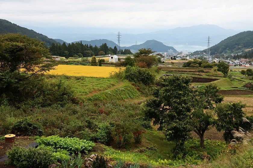
A rice field near Shibu Onsen and the snow monkeys, just as the road starts to climb towards Shiga Kogen
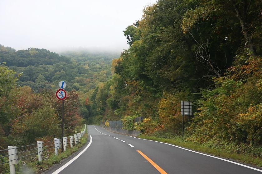
Slight colorations in the low elevations
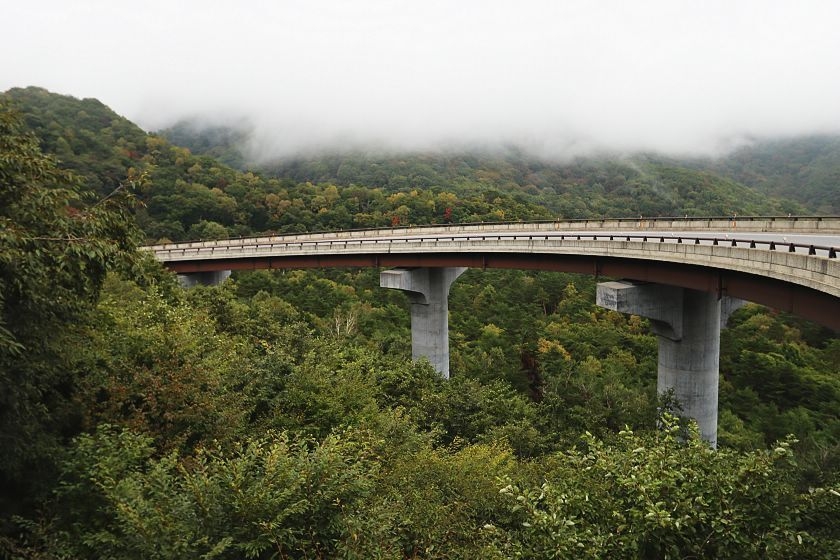
Road over forest
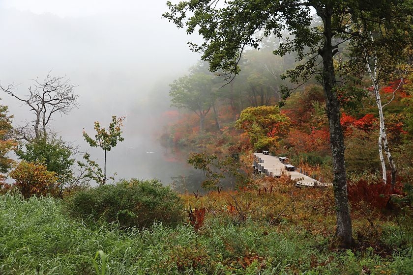
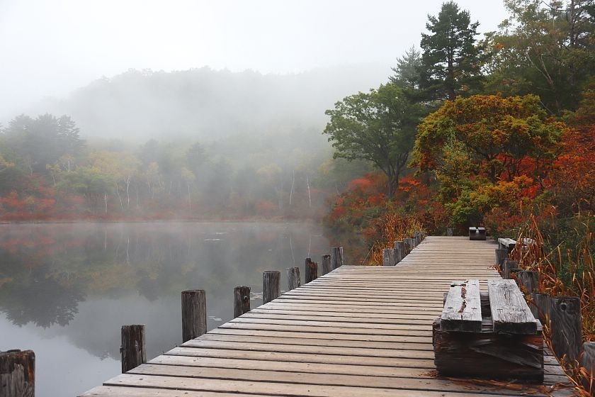
Located around 1400 meters above sea level, Ichinuma Pond provided the first nice pockets of autumn colors
Ichinuma Pond
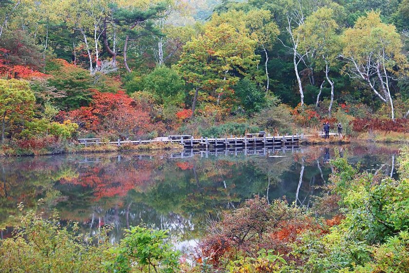
Autumn color hunters at Ichinuma Pond
Along the trail from Ichinuma Pond to nearby Biwaike Pond
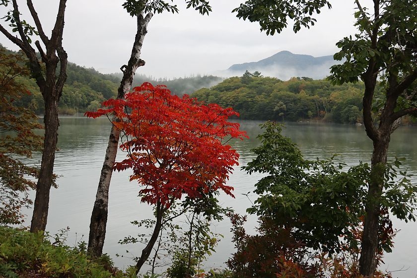
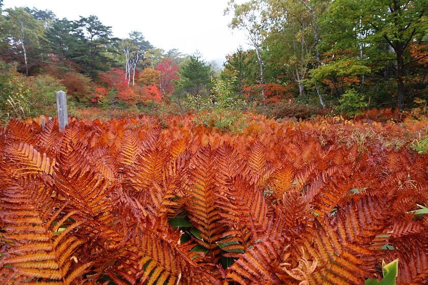
This red tree was the main provider of autumn colors around Biwaike Pond
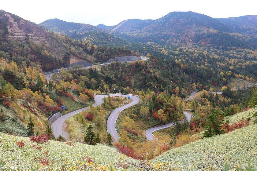
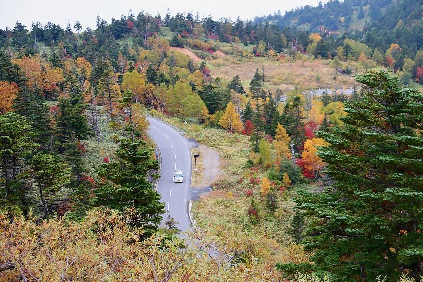
View from further up the road
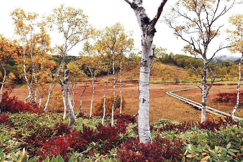
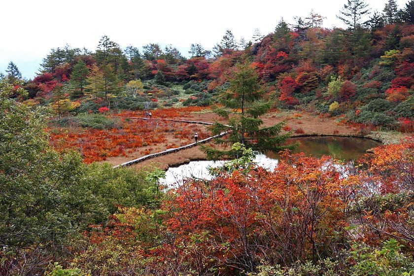
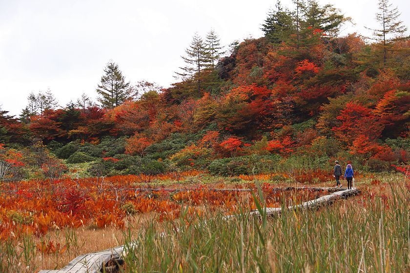
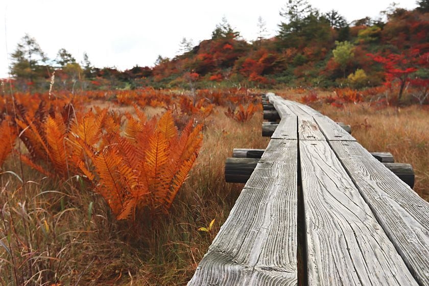
One of today's highlights was the small Tanohara Marshland at 1610 meters above sea level
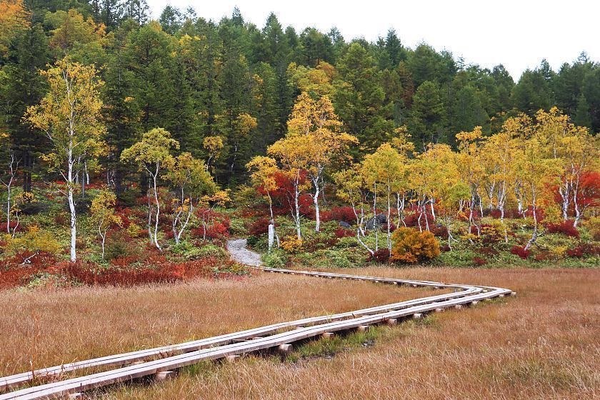
The marshland can be reached in a short walk from a parking lot along the road
Ikebana, made by nature
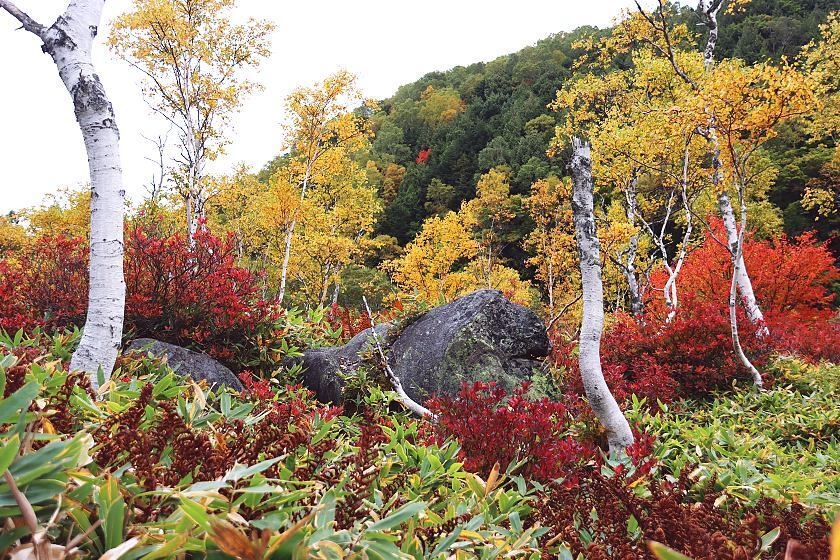
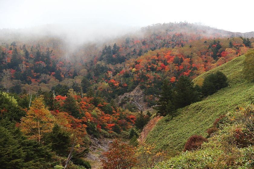
The colors intensified with the altitude
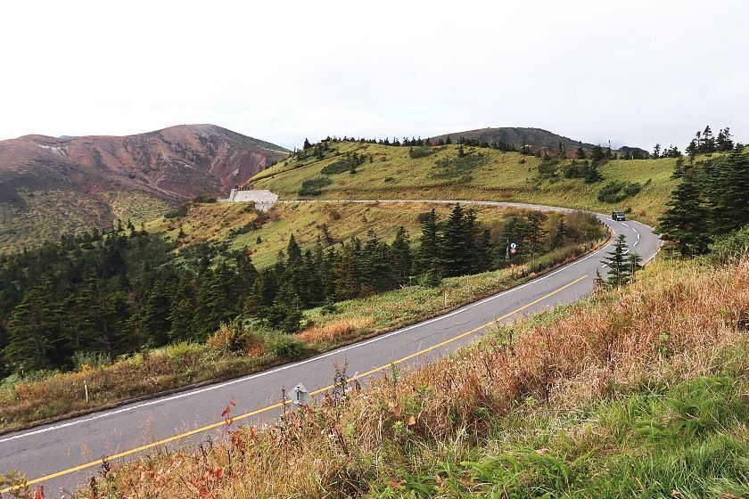
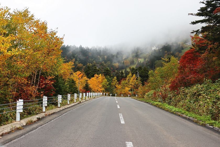
Climbing towards Shibu Pass
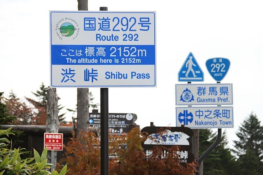
The temperature at Shibu Pass was 3 degrees Celsius this morning around 9am
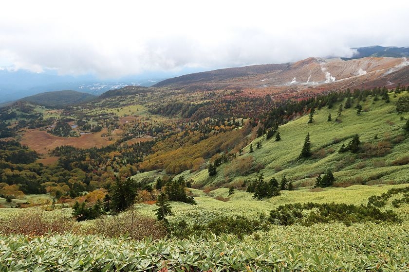
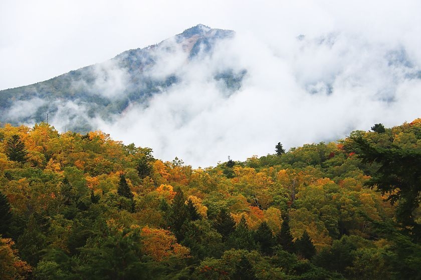
Views down the slopes of Mount Shirane
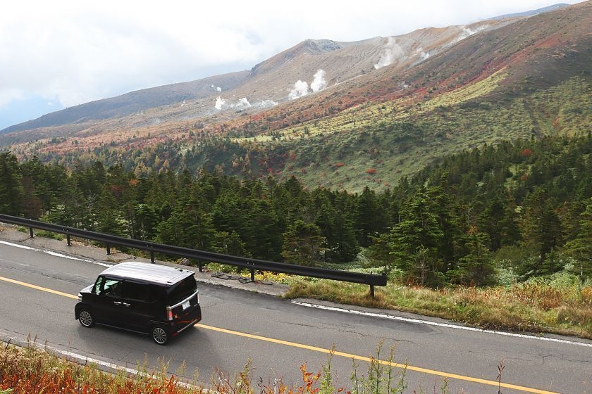
Smoking Mount Shirane
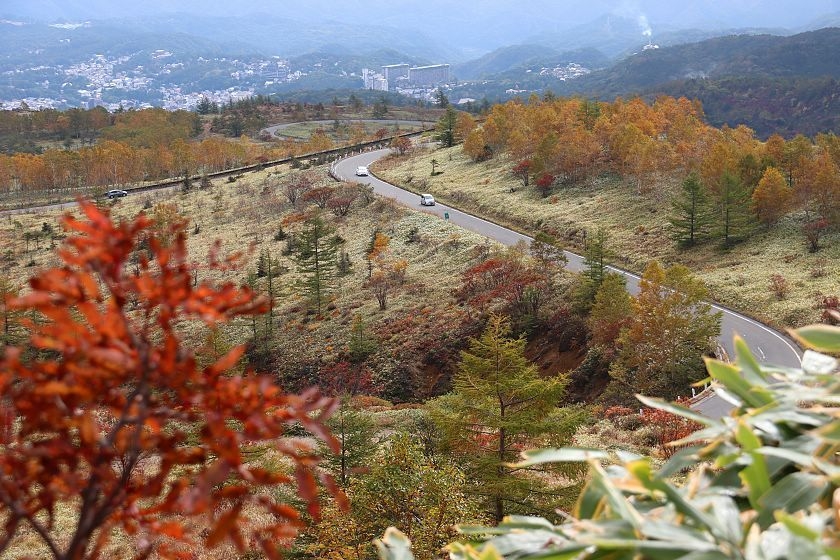
The road descends towards Kusatsu Onsen, seen in the background
Nice colors along the descent
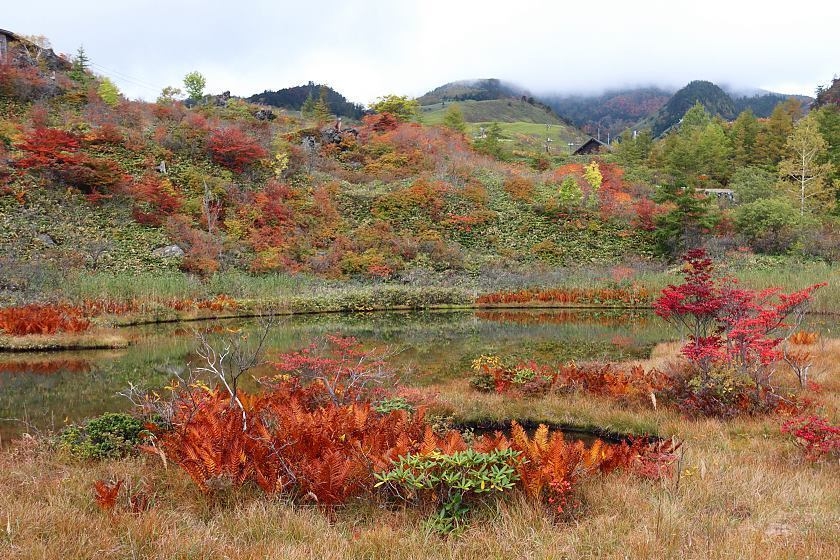
The best spot for autumn colors on the Gunma side was the Mononugunoike Pond
Autumn colors in the marshland surrounding Mononugunoike Pond
Elevated walkway
The pond can be reached in a short walk downhill from the now-defunct Shirane Kazan Ropeway's lower station
The autumn colors haven't descended to the town of Kusatsu Onsen yet
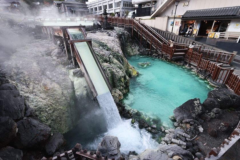
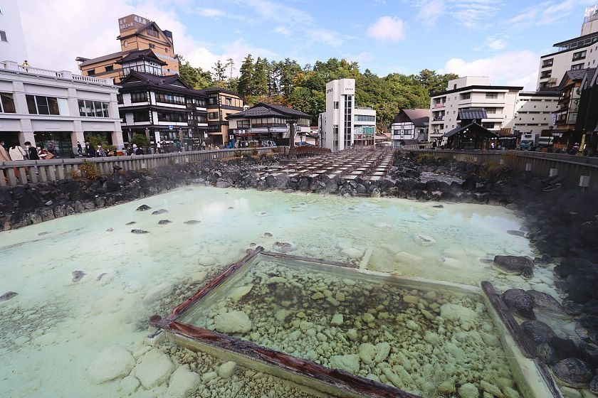
The Yubatake is located 1156 meters above sea level
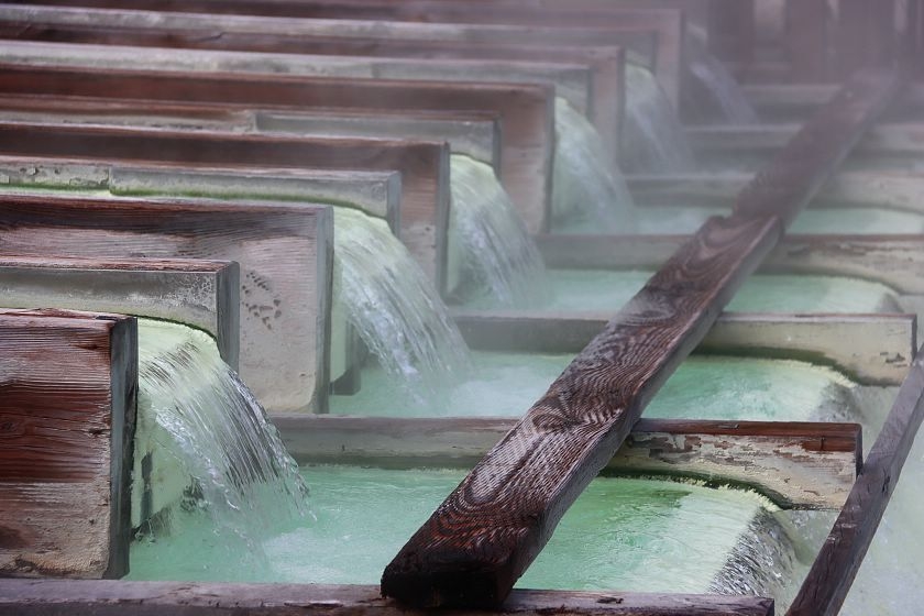
... and produces a lot of Kusatsu's beloved hot spring water

Sainokawara Park features warm streams and multiple small hot spring sources
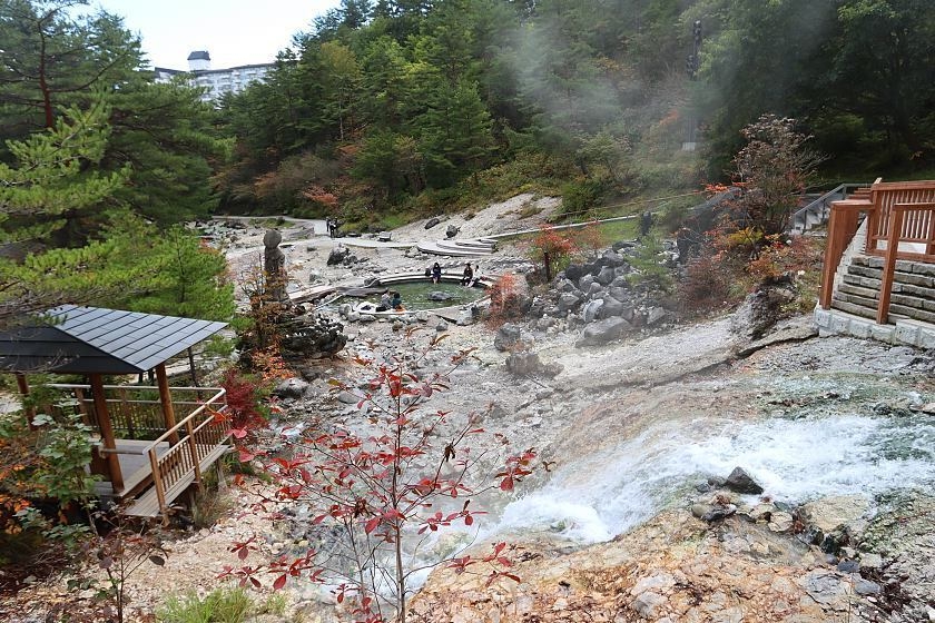
The park is reached in a 5-10 minute walk from the Yubatake